


Where Are the Hurricanes? How Strong El Niño Stifled the Atlantic Season
Key Takeaways
- A robust El Niño pattern in the Pacific Ocean has generated atmospheric wind shear that severely disrupts Atlantic tropical cyclone formation.
- Forecasters are monitoring an unprecedented lull that could establish historic records for minimal hurricane development across the basin.
- While atmospheric conditions remain hostile to storm growth, meteorologists caution coastal residents that individual late-season systems can still pose serious hazards.
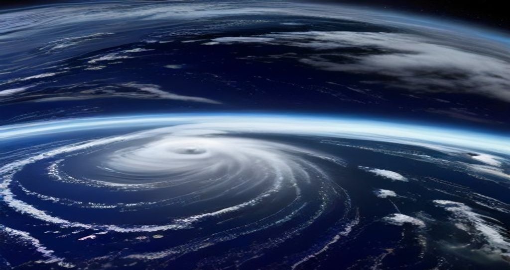
As the calendar advances through what is traditionally the most turbulent stretch of the Atlantic weather cycle, the basin has exhibited an eerie and historic silence. Coastal residents and meteorologists accustomed to tracking continuous clusters of tropical depressions are instead observing vast swaths of open, tranquil waters.
According to comprehensive reporting from AP News, the dramatic absence of tropical activity is primarily driven by an uncommonly resilient El Niño climate pattern. The phenomenon, centered thousands of miles away across the equatorial Pacific Ocean, is asserting outsized influence over global air currents and effectively shutting down the Atlantic hurricane engine.
SPONSORED ADVERTISEMENT
The Atmospheric Barrier: Understanding El Niño’s Grip
El Niño develops when sea surface temperatures across the central and eastern Pacific warm significantly above baseline averages. While that warming triggers extreme weather and elevated cyclone activity in the Pacific, its downstream consequences across the Atlantic basin are markedly different.
As Pacific warmth pumps massive volumes of moisture and heat upward into the upper atmosphere, it alters the trajectory of high-altitude jet streams. This kinetic ripple effect generates intense vertical wind shear over the Caribbean Sea and the tropical Atlantic corridor. Vertical wind shear – characterized by sharp variations in wind speed and direction at different atmospheric layers – prevents nascent thunderstorms from consolidating around a centralized low-pressure axis.
In essence, prospective tropical waves drifting off the western coast of Africa encounter hostile atmospheric headwinds that shred their vertical structures before cloud rotation can organize into a named hurricane.
SPONSORED ADVERTISEMENT
Defying Prior High-Activity Projections
Earlier seasonal models had projected a volatile year, largely due to record-high sea surface temperatures across the Atlantic basin. Typically, ocean warmth acts as high-octane fuel for tropical disturbances. However, meteorologists now note that upper-level shear has completely overridden the thermal energy available at the ocean surface.
Data tracked across federal agencies and independent research centers highlights that this balance of power between warm ocean waters and disruptive wind shear is tilting decisively toward atmospheric suppression. If the current trajectory persists without a major late-season spike, the year could finish among the quietest Atlantic cycles recorded since modern satellite surveillance began in the mid-twentieth century.
Prudence Urged Despite Calmer Seas
Emergency management officials and meteorologists emphasize that a subdued seasonal tally does not equal an absence of risk. Coastal readiness remains essential because catastrophic damage can stem from a single rogue system that navigates through an isolated pocket of low shear.
Historical records show that even during suppressed seasons, late-developing storms can rapidly intensify if local conditions briefly stabilize before landfall. Nevertheless, the prolonged drought of named systems offers valuable breathing room for vulnerable coastal infrastructures recovering from past destructive cycles.
SPONSORED ADVERTISEMENT
Frequently Asked Questions
Why does El Niño stop Atlantic hurricanes from forming?
El Niño warms the Pacific Ocean, altering high-altitude air currents across the globe. This alteration produces strong vertical wind shear over the Atlantic, which shears apart developing storm clouds before they can organize into a circular vortex.
Does a record-slow hurricane season mean no storms will make landfall?
No. Even in the slowest seasons on record, isolated storms can still develop if localized pockets of low wind shear appear. Meteorologists remind coastal residents that seasonal totals do not dictate whether a specific community will experience severe weather.
Reported by Creek Observer Editorial Desk. Sourced and verified from public news dispatches including AP News. Published in accordance with fair reporting and public interest standards.