

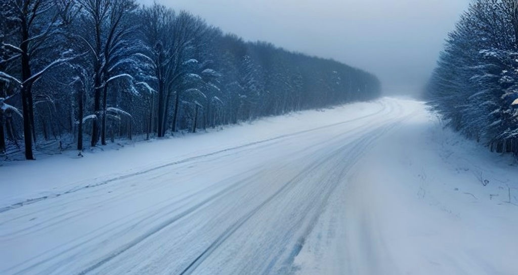


First Wintry Blast and Potential Nor’easter Target Eastern United States
Key Takeaways
- A developing coastal storm threatens to deliver the season’s first significant snow to millions of residents across the East.
- According to comprehensive reporting from USA Today, meteorologists are tracking a potential nor’easter bringing a mix of heavy rain and accumulating snow.
- Accompanying arctic air masses will introduce the coldest temperatures recorded in months throughout the region.
As autumn deepens across the nation, millions of residents living along the Eastern Seaboard and adjacent inland corridors are preparing for a drastic meteorological shift. According to initial reports and data compiled by USA Today, premier weather networks including The Weather Channel, FOX Weather, CNN, and The Washington Post are actively tracking a formidable coastal storm system. This incoming weather phenomenon carries the strong potential to evolve into a classic nor’easter, bringing the first measurable snowfall of the season to vast portions of the Northeast.
Forecasters note that the atmospheric setup involves a potent collision between lingering autumn moisture and a robust wave of arctic air sweeping directly out of Canada. While southern and coastal locations may initially experience heavy downpours and gusty winds, interior elevations and northern sub-regions face a distinct probability of transitioning into heavy snow as temperatures plummet rapidly overnight.
SPONSORED ADVERTISEMENT
Tracking the Developing Coastal Storm
Meteorological models reviewed by major news outlets indicate that the atmospheric disturbance is rapidly organizing off the Atlantic coastline. As the system intensifies, it is expected to draw in sub-freezing temperatures from the north, creating a classic dynamic associated with high-impact nor’easters. Emergency management agencies and transportation departments are already monitoring the projected trajectory to ensure readiness for potential travel disruptions, slick highway conditions, and localized power outages.
The sudden transition will not only catch many unprepared drivers off guard but will also shatter the relatively mild weather patterns that have dominated the region over the past several weeks. Utility providers urge homeowners to clear fallen autumn leaves from storm drains and check emergency heating equipment ahead of the impending drop in mercury.
SPONSORED ADVERTISEMENT
What This Means for Travelers and Commuters
With holiday travel planning already underway, transportation analysts warn that this early-season weather punch could cause significant delays at major regional hubs. Airports from Washington, D.C., to Boston are reviewing contingency plans in anticipation of reduced visibility and de-icing requirements. Commuters should remain vigilant, keep a close eye on local forecasts, and prepare their vehicles with winter emergency kits before venturing onto affected roadways.
SPONSORED ADVERTISEMENT
Frequently Asked Questions
When is the storm expected to hit the East Coast?
Meteorological forecasts indicate that the system will begin impacting the region later this week, with conditions deteriorating rapidly as the coastal low-pressure area intensifies.
Will this storm bring snow to major metropolitan areas?
While interior and higher-elevation zones have the highest certainty for accumulating snowfall, major coastal cities are more likely to experience a cold rain transitioning to a mixed wintry mix, depending on exact temperature tracks.
Reported by Creek Observer Editorial Desk. Sourced and verified from public news dispatches including USA Today. Published in accordance with fair reporting and public interest standards.